1 ITEMView cart
-
Garmin Descent G1 Solar Ocean Edition 1 × 2,649.00

Your order qualifies for free shipping!
Subtotal: 2,649.00

Subtotal: 2,649.00
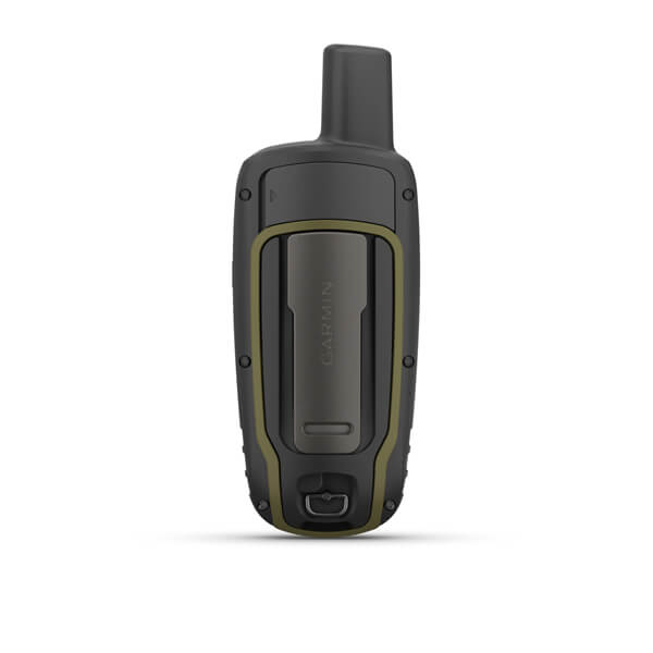
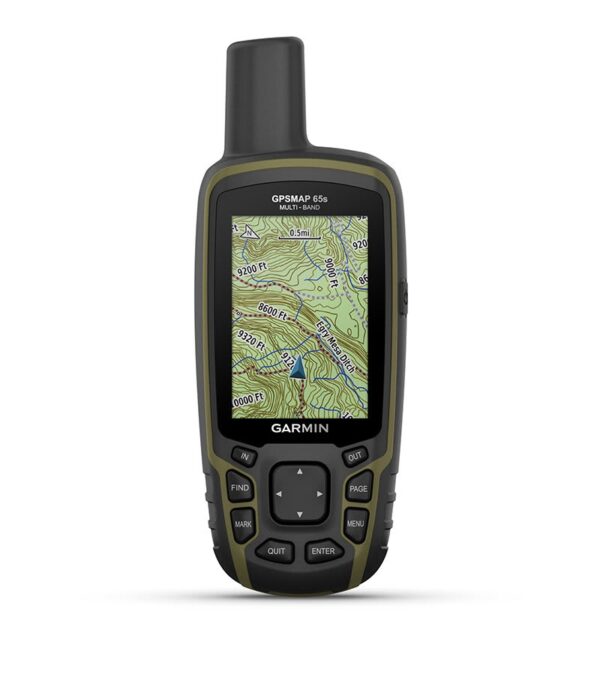
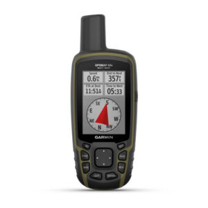
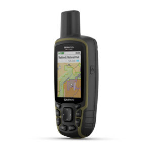
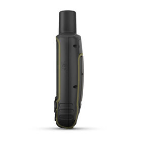
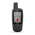
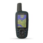
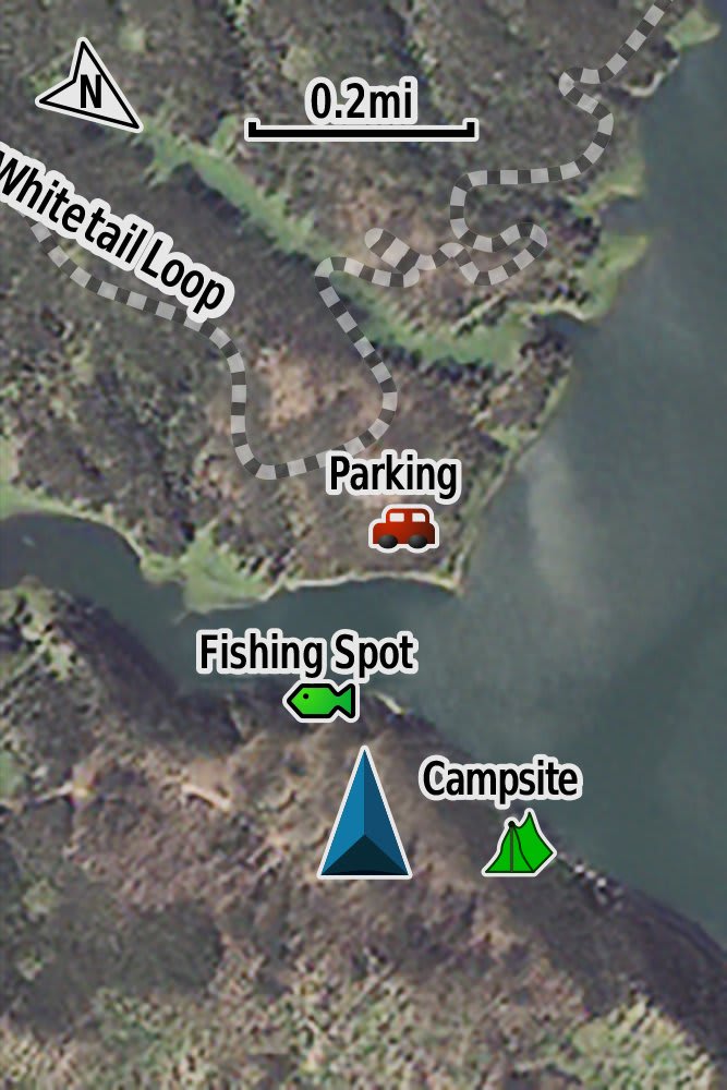
Navigate your next adventure with the GPSMAP 64sx handheld navigator series. Whether you’re hiking, cycling, geocaching or climbing, you are free to explore more with the best-in-class Garmin handheld navigation in the palm of your hand. And the series now has multi-GNSS support, too.
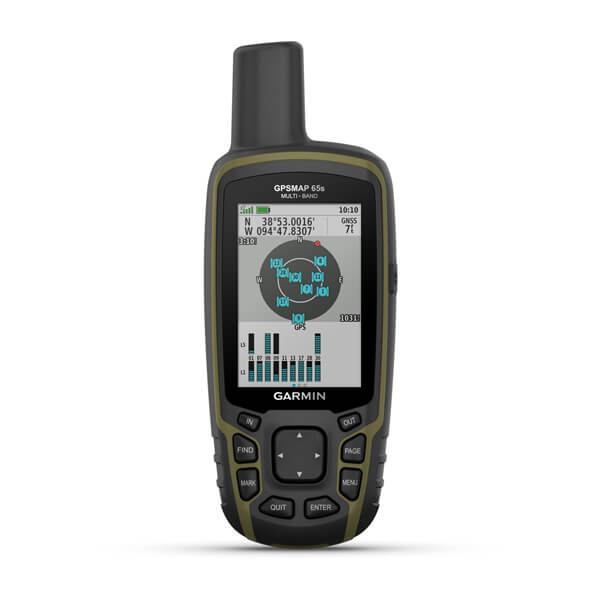
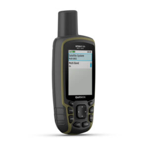
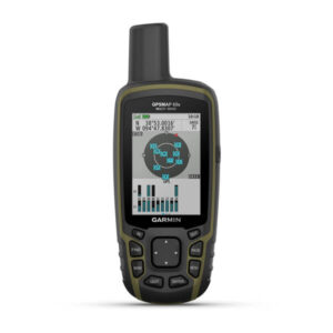
With its quad helix antenna, high-sensitivity receiver and multiple global navigation systems support (GPS, GLONASS and Galileo), the GPSMAP 64sx series locates your position quickly and precisely, and maintains its location in more challenging environments than GPS alone.
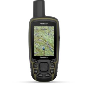
With 8 GB of onboard memory and a microSD™ card slot for expandable storage, you can conveniently download even more maps.
The GPSMAP 64sx series also supports BirdsEye Satellite Imagery (subscription required) that lets you load satellite images and integrate them with your maps.
GPSMAP 64sx handhelds let you share your waypoints, tracks, routes and geocaches wirelessly with other compatible devices. Your friends can enjoy your favourite hike or cache without waiting for you to plug in to your computer; simply press “send” to transfer your information to another Garmin handheld.
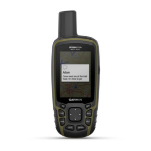
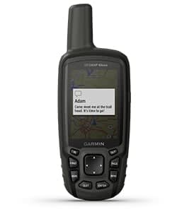
With smart notifications, you can wirelessly receive emails, texts and alerts from your compatible device. Stay connected without having to dig into your backpack for your smartphone.
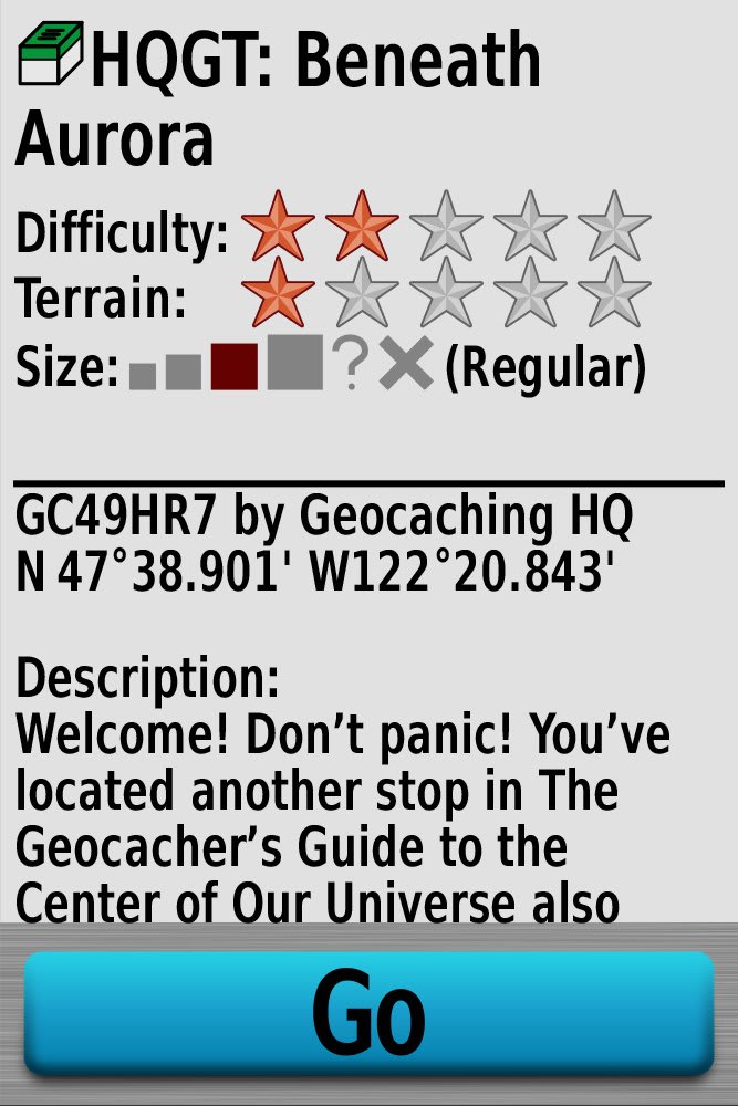
The GPSMAP 64sx series features paperless geocaching. Upload GPX files straight to your device, and view key information such as location, terrain and hints from Geocaching.com.
The Bluetooth word mark and logos are registered trademarks owned by Bluetooth SIG, Inc. and any use of such marks by Garmin is under license.
| Series | |
|---|---|
| Altimeter and Compass | Yes |
General |
|
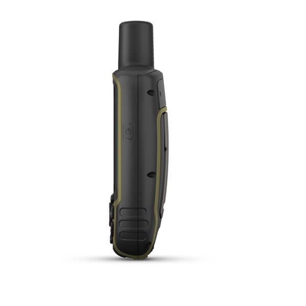
| DIMENSION | 6.1 x 16.0 x 3.6 cm |
|---|---|
| DISPLAY SIZE | 3.6 x 5.5 cm; 2.6″ diag (6.6 cm) |
| DISPLAY RESOLUTION | 160 x 240 pixels |
| DISPLAY TYPE | Transflective, 65K colour TFT |
| WEIGHT | 217 g with batteries |
| WATER RATING | IPX7 |
| BATTERY TYPE | 2 AA batteries (not included); NiMH or Lithium recommended |
| BATTERY LIFE | 16 hours |
| INTERFACE | high speed mini USB and NMEA 0183 compatible |
| MEMORY/HISTORY | 8 GB |
Maps & memory |
|
| ABILITY TO ADD MAPS | |
|---|---|
| BASEMAP | |
| AUTOMATIC ROUTING (TURN BY TURN ROUTING ON ROADS) FOR OUTDOOR ACTIVITIES | |
| MAP SEGMENTS | 3000 |
| INCLUDES DETAILED HYDROGRAPHIC FEATURES (COASTLINES, LAKE/RIVER SHORELINES, WETLANDS AND PERENNIAL AND SEASONAL STREAMS) | |
| INCLUDES SEARCHABLE POINTS OF INTERESTS (PARKS, CAMPGROUNDS, SCENIC LOOKOUTS AND PICNIC SITES) | |
| DISPLAYS NATIONAL, STATE AND LOCAL PARKS, FORESTS, AND WILDERNESS AREAS | |
| STORAGE AND POWER CAPACITY | microSD™ card (not included) |
| WAYPOINTS/FAVOURITES/LOCATIONS | 5,000 |
| TRACKS | 200 |
| NAVIGATION TRACK LOG | 10,000 points, 200 saved tracks |
| NAVIGATION ROUTES | 200 |
Sensors |
|
| HIGH-SENSITIVITY RECEIVER | |
|---|---|
| GPS | |
| GLONASS | |
| GALILEO | |
| BAROMETRIC ALTIMETER | |
| COMPASS | Yes (tilt-compensated 3-axis) |
| GPS COMPASS (WHILE MOVING) | |
Daily smart features |
|
| SMART NOTIFICATIONS ON HANDHELD | |
|---|---|
| VIRB® CAMERA REMOTE | |
| COMPATIBLE WITH GARMIN CONNECT™ MOBILE | |
Outdoor recreation |
|
| POINT-TO-POINT NAVIGATION | |
|---|---|
| AREA CALCULATION | |
| HUNT/FISH CALENDAR | |
| SUN AND MOON INFORMATION | |
| GEOCACHING-FRIENDLY | Yes (paperless) |
| CUSTOM MAPS COMPATIBLE | yes (500 custom map tiles) |
| PICTURE VIEWER | |
Connections |
|
| CONNECTIONS WIRELESS CONNECTIVITY | yes (BLUETOOTH®, ANT+®) |
|---|---|
Additional |
|
| ADDITIONAL |
|
|---|---|
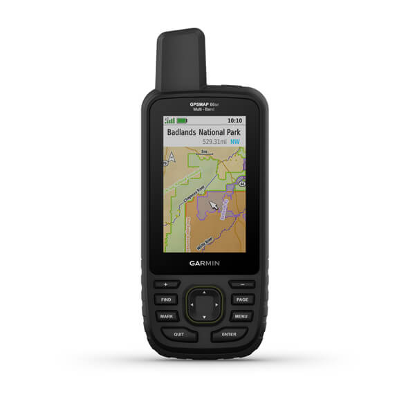
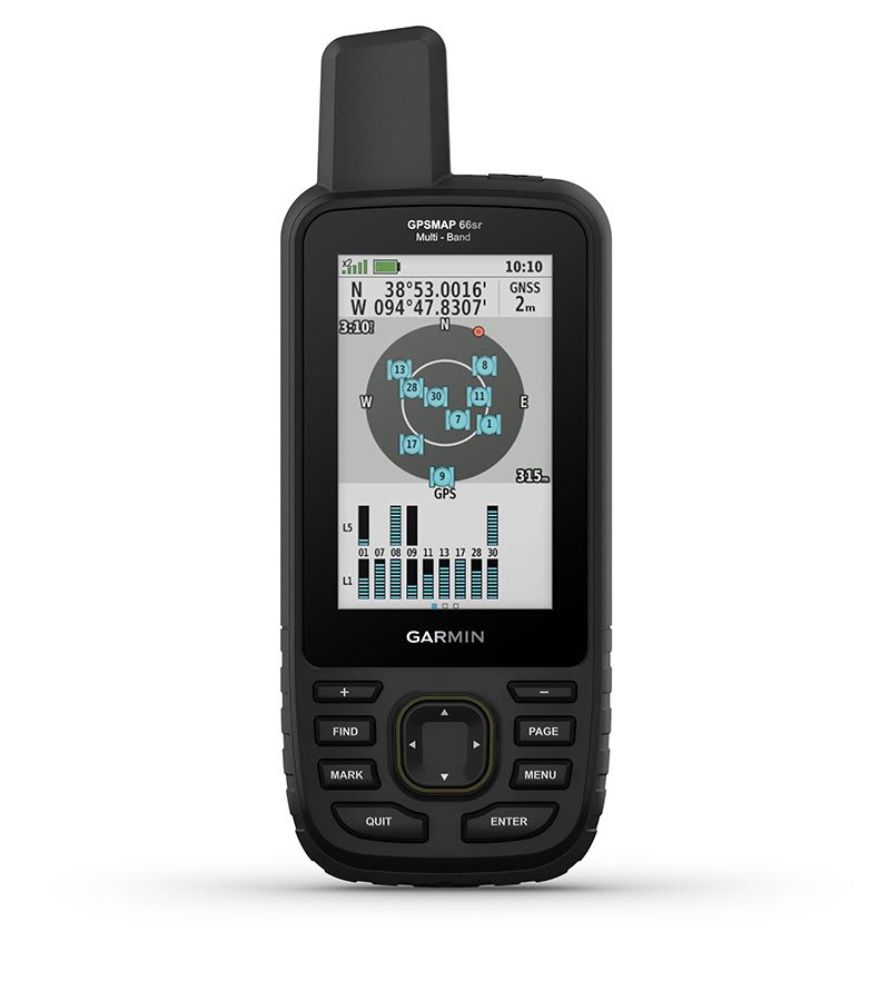
Multi-band/GNSS handheld with sensors and Topo Active Europe maps
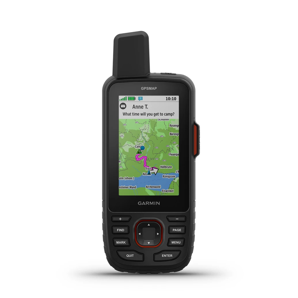
Rugged GPS Touchscreen Navigator with inReach® Technology THIS PRODUCT CANNOT BE SHIPPED TO THE UNITED ARAB...
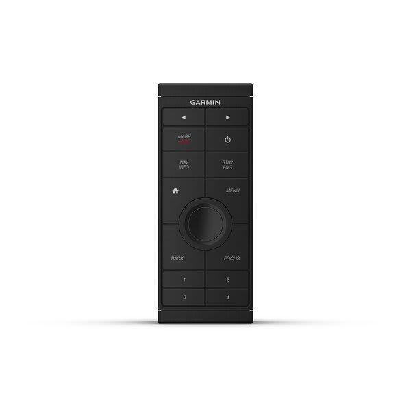
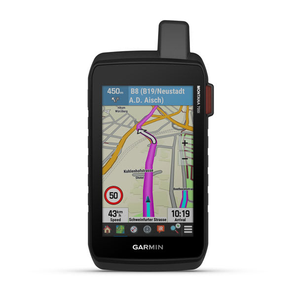
Sit back and take control Provides intuitive, easy-to-use remote access and control of your entire Garmin...
Multi-band/GNSS handheld with sensors and Topo Active Europe maps
Rugged GPS Touchscreen Navigator with inReach® Technology THIS PRODUCT CANNOT BE SHIPPED TO THE UNITED ARAB...
Sit back and take control Provides intuitive, easy-to-use remote access and control of your entire Garmin...
Multi-band/GNSS handheld with sensors and Topo Active Europe maps